Vehicle Detection Using Lidar Data In Machine Learning
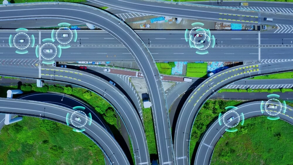
Vehicle detection is a key component of modern machine-learning applications, and lidar data can solve this problem effectively. It is a type of point cloud data that provides accurate 3D information, and it is increasingly being used in machine learning applications to quickly and accurately detect vehicles. With lidar data, machine learning can provide a reliable and accurate approach to vehicle detection that can power the next generation of automated driving technology.
This blog post will discuss using that effectively in machine learning to detect vehicles. We will cover how to set up the environment, prepare the data, classify the vehicles, and discuss the results. We will also explore how to use lidar data in an automated driving context and provide some tips and best practices for achieving the highest accuracy in vehicle detection.
1. Overview of Lidar Data
Lidar data is a powerful tool in various applications, ranging from autonomous vehicle navigation to mapping. It is a form of remote sensing that uses laser light to measure distances from the source to an object. It is possible to map the topography of an area by measuring the time it takes for a laser pulse to travel from the source to the object. This data can generate highly detailed 3D maps of large areas and is frequently used for terrain mapping, forestry, and land surveying. Lidar data is often collected from either an airborne or terrestrial platform. Airborne platforms are usually aircraft that are equipped with a lidar system.
2. Pre-Processing of Lidar Data
Pre-processing is an important step in leveraging the full potential of Lidar data, as it allows users to analyze and interpret the data. Pre-processing of Lidar data is a set of operations that are used to prepare Lidar data for further processing. This process typically involves organizing raw data into a more suitable format for analyzing and working with, removing any unnecessary data points, and ensuring accuracy in the data. Pre-processing can also involve removing outliers, such as buildings, trees, and other objects that may interfere with the data. Additionally, it can involve data segmentation into meaningful components, such as land cover classes or elevation classes.
3. Point Cloud Segmentation
Point cloud segmentation is used in computer vision to identify and differentiate objects within a 3D point cloud. This segmentation is typically used to create a digital representation of an object or environment and is a key component of digital 3D vision systems. Extracting information from a 3D point cloud can better understand scenes. Point cloud segmentation is used in various applications, such as autonomous driving, robotic navigation, and medical imaging. The process involves clustering related points into distinct regions and can be accomplished using various methods, such as K-Means clustering, region growth, and density-based clustering.
Continue Reading: Vehicle Detection Using Lidar Data In Machine Learning


Comments
Post a Comment